EGSH
Welcome to Ethiosathub!
Remote Sensing & Environmental Consultancy – Ethiopia
Downloadable Maps and Data
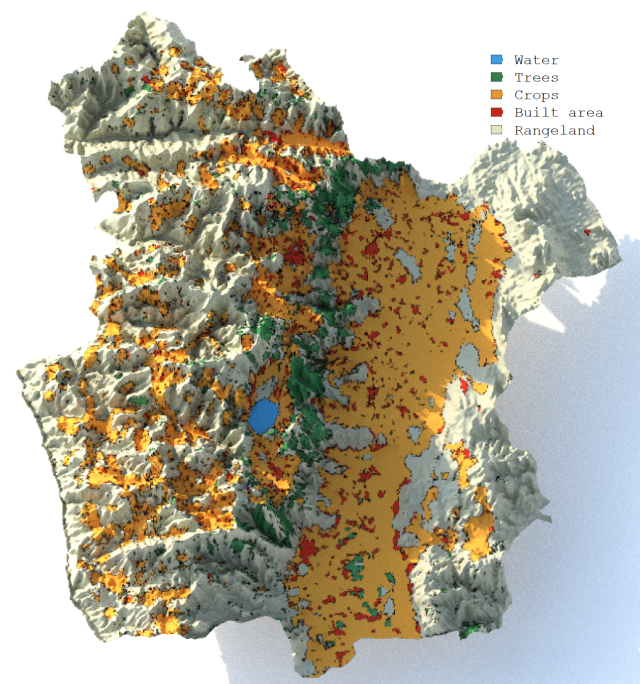
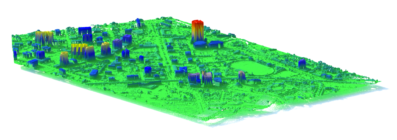
Explore our collection of downloadable maps and datasets for Ethiopia. Access high-resolution satellite imagery, land cover maps, and environmental data to support your projects and research.
Explore NDVI maps
Data Resources
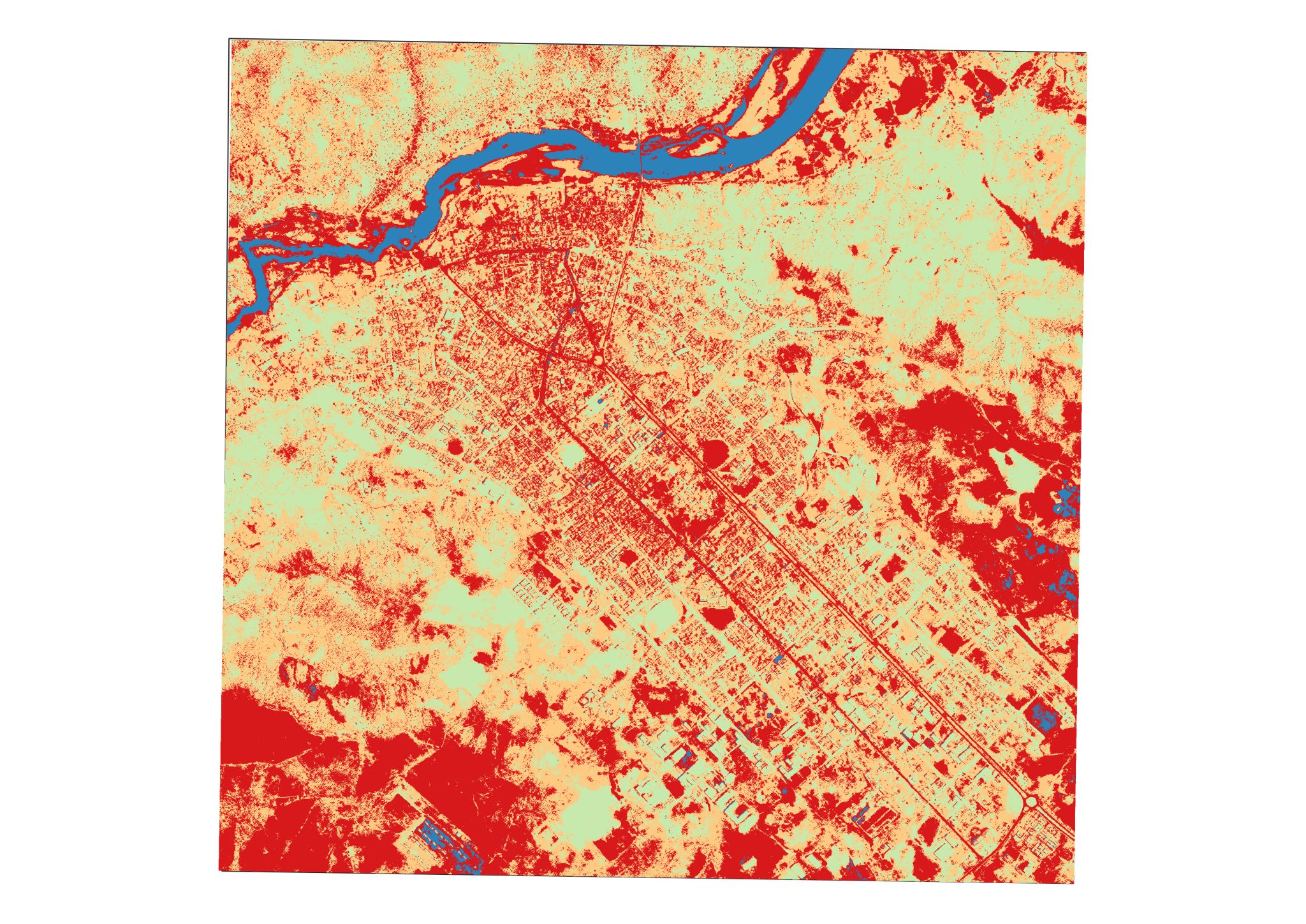
Access a variety of geospatial datasets relevant to Ethiopia. Our data resources include land use/land cover data, climate data, and other environmental datasets to aid in your analysis and decision-making.
Explore Data resources