Home

Welcome to EthioSatHub!

🌍 Remote Sensing & Environmental Consultancy – Ethiopia

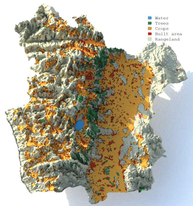
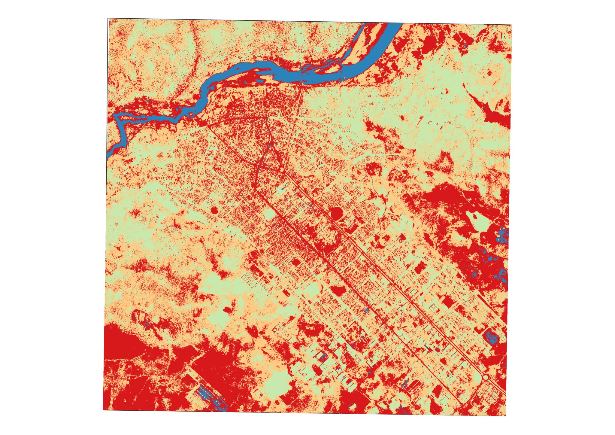
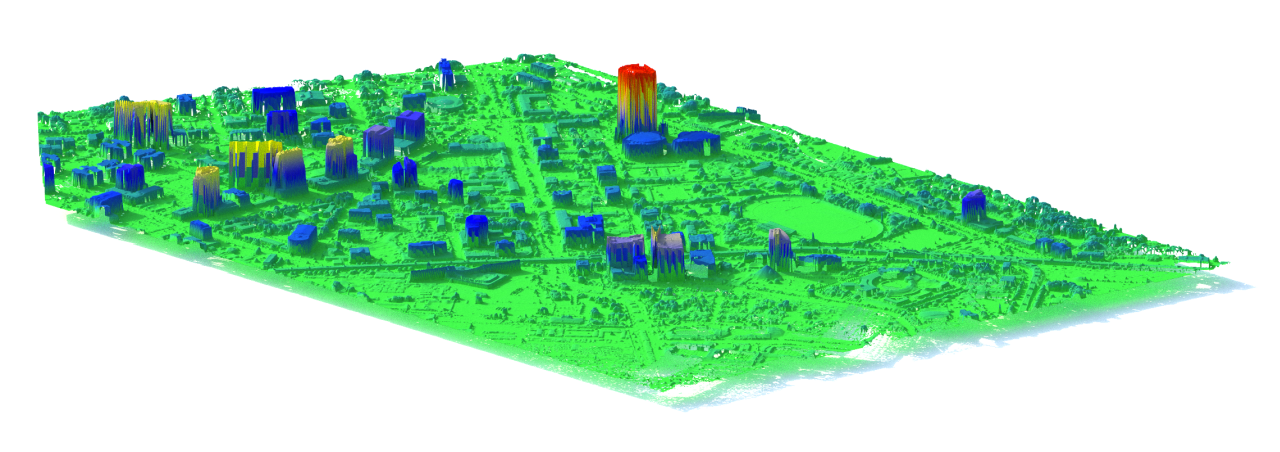
We provide specialized consultancy services in remote sensing and GIS applications tailored to Ethiopia’s environmental challenges. Beyond our online tools, we support organizations, researchers, and policymakers with offline analysis services, including:

Our consultancy services are designed to turn satellite data into actionable insights for agriculture, forestry, water resources, urban planning, and climate resilience projects.

Whether you are a government agency, NGO, researcher, or private business, we ensure that your data translates into reliable, decision-ready solutions.

Home

Welcome to EthioSatHub!

Maps

Select an area on the map to visualize and download NDVI maps. The minimum and maximum temporal range is one month and one year respectively. Currently the visualizing and downloading NDVI in the website is limited to a very small area. Hence if you want to visualize and download NDVI for a larger area please use the NDVI App.

Open NDVI App

Data

This section provides administrative boundary datasets of Ethiopia in GeoPackage format. The datasets are organized into different administrative levels:

Each dataset is available in two coordinate reference systems:

The GCS version is useful for web mapping and global datasets, while the PCS version is recommended for spatial analysis and distance/area measurements. These datasets are suitable for GIS applications, research, and visualization projects related to Ethiopia’s administrative divisions.

GeoPackage Format: GeoPackage (GPKG) is an open, internationally recognized format for storing and sharing geographic data. GeoPackage is supported by most modern GIS software including QGIS, ArcGIS, and GDAL. It allows users to organize multiple layers and their attributes efficiently in one file, making it straightforward to exchange and reuse data. In geopackage format both vector and raster layers can be stored in a single, compact file. Using GeoPackage is a normal part of today’s geospatial workflows, offering a reliable and future-proof way to manage spatial information.

Click the links below to download the data:

GCS (EPSG:4326)

PCS (EPSG:32637)

Contact

Contact us for more information about our datasets and maps.

Email: admin@ethiosathub.org